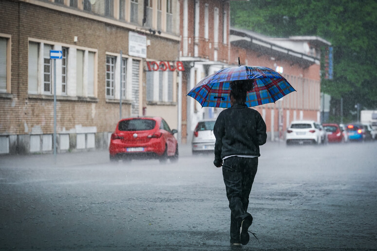
Severe bad weather is coming in the
next 48 hours in several parts of Italy with a maximum alert for
cloudbursts, wind and storm surges in Sicily and Calabria,
partly also in the south of Sardinia and the rest of the south,
said Lorenzo Tedici, meteorologist of the site www.iLMeteo.it.
Confirming the clash between a Tunisian cyclone and a Polish
front, Tedici said: "Over the next few hours the most intense
rains are expected in Sicily, where up to and over 100 mm will
fall.
"From the afternoon other torrential rains will hit the same
areas and also the rest of the southern peninsula while it will
improve in Sardinia".
In the second part of Thursday, we will also see the effects of
the second disturbance that will bring showers, thunderstorms
and heavy hail to the North-East and then to the West.
On Friday, however, the fusion of the two disturbed fronts is
expected with cloudbursts in the South and on the Central
Adriatic, gusts of wind, storm surges and violent phenomena.
The weather will improve on Saturday and Sunday and clear skies
will prevail even if there will still be scattered showers,
especially in the afternoon hours and close to the mountains of
the central-north.
But the new week will begin with other disturbances from the
Atlantic sector.
"Rain and showers - concluded Tedici - will hit Italy in a
scattered manner at least until Friday, especially the
central-north".
Detailed forecast:
- Thursday 15. In the North: worsening by the afternoon
starting from the Triveneto. In the Center: dry, but often
cloudy, showers in Sardinia. In the South: severe bad weather
starting from Sicily.
- Friday 16. In the North: mainly good weather, cool in the
morning. In the Center: severe bad weather on the Adriatic. In
the South: severe bad weather.
- Saturday 17. In the North: sunnier except for local showers.
In the Center: sunnier except for isolated showers. In the
South: some rain in Calabria.
Outlook: sun and showers on Sunday, next week still unstable
with rain in the Center-North, hot in the South.
ALL RIGHTS RESERVED © Copyright ANSA


